Proceedings magazine is a communication tool for the Coast Guard's Marine Safety & Security Council. Each quarterly magazine focuses on a specific theme of interest to the marine industry.
Issue link: https://uscgproceedings.epubxp.com/i/149372
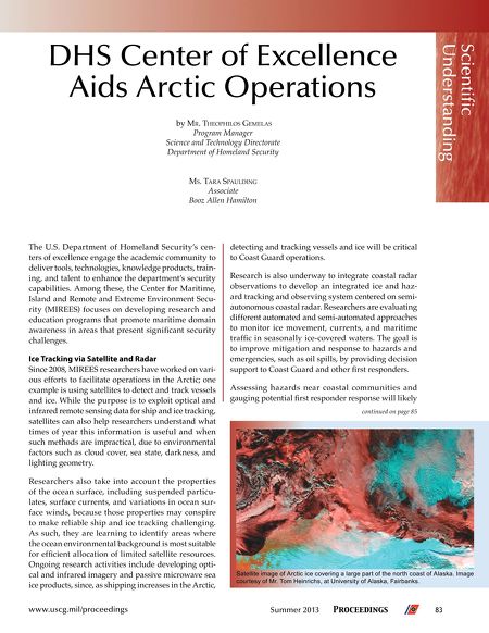
byMR. THEOPHILOS GEMELAS Program Manager Science and Technology Directorate Department of Homeland Security Scientifc Understanding DHS Center of Excellence Aids Arctic Operations MS. TARASPAULDING Associate Booz Allen Hamilton TheU.S.DepartmentofHomelandSecurity'scentersofexcellenceengagetheacademiccommunityto delivertools,technologies,knowledgeproducts,training,andtalenttoenhancethedepartment'ssecurity capabilities.Amongthese,theCenterforMaritime, IslandandRemoteandExtremeEnvironmentSecurity(MIREES)focusesondevelopingresearchand educationprogramsthatpromotemaritimedomain awarenessinareasthatpresentsignifcantsecurity challenges. Ice Tracking via Satellite and Radar Since2008,MIREESresearchershaveworkedonvariouseffortstofacilitateoperationsintheArctic;one exampleisusingsatellitestodetectandtrackvessels andice.Whilethepurposeistoexploitopticaland infrared remote sensing data for ship and ice tracking, satellitescanalsohelpresearchersunderstandwhat timesofyearthisinformationisusefulandwhen suchmethodsareimpractical,duetoenvironmental factorssuchascloudcover,seastate,darkness,and lightinggeometry. Researchers also take into account the properties oftheoceansurface,includingsuspendedparticulates,surfacecurrents,andvariationsinoceansurfacewinds,becausethosepropertiesmayconspire tomakereliableshipandicetrackingchallenging. Assuch,theyarelearningtoidentifyareaswhere theoceanenvironmentalbackgroundismostsuitable foreffcientallocationoflimitedsatelliteresources. Ongoingresearchactivitiesincludedevelopingopticalandinfraredimageryandpassivemicrowavesea iceproducts,since,asshippingincreasesintheArctic, www.uscg.mil/proceedings detectingandtrackingvesselsandicewillbecritical toCoastGuardoperations. Researchisalsounderwaytointegratecoastalradar observationstodevelopanintegratediceandhazardtrackingandobservingsystemcenteredonsemiautonomouscoastalradar.Researchersareevaluating differentautomatedandsemi-automatedapproaches to monitor ice movement, currents, and maritime traffcinseasonallyice-coveredwaters.Thegoalis to improve mitigation and response to hazards and emergencies,suchasoilspills,byprovidingdecision supporttoCoastGuardandotherfrstresponders. Assessing hazards near coastal communities and gaugingpotentialfrstresponderresponsewilllikely continued on page 85 Satellite image of Arctic ice covering a large part of the north coast of Alaska. Image courtesy of Mr. Tom Heinrichs, at University of Alaska, Fairbanks. Summer 2013 Proceedings 83