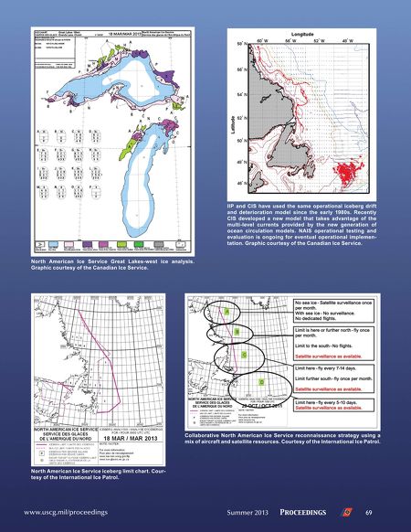
IIP and CIS have used the same operational iceberg drift
and deterioration model since the early 1980s. Recently
CIS developed a new model that takes advantage of the
multi-level currents provided by the new generation of
ocean circulation models. NAIS operational testing and
evaluation is ongoing for eventual operational implementation. Graphic courtesy of the Canadian Ice Service.
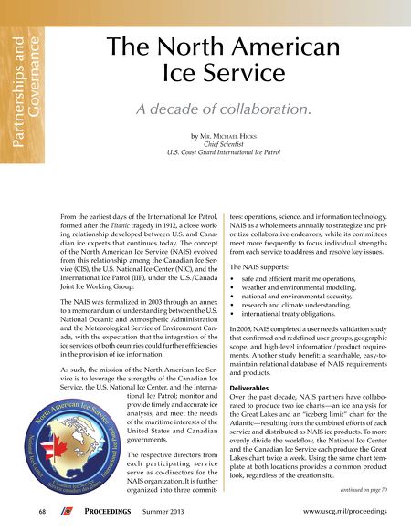
North American Ice Service Great Lakes-west ice analysis.
Graphic courtesy of the Canadian Ice Service.
Collaborative North American Ice Service reconnaissance strategy using a
mix of aircraft and satellite resources. Courtesy of the International Ice Patrol.
North American Ice Service iceberg limit chart. Courtesy of the International Ice Patrol.
www.uscg.mil/proceedings
Summer 2013
Proceedings
69